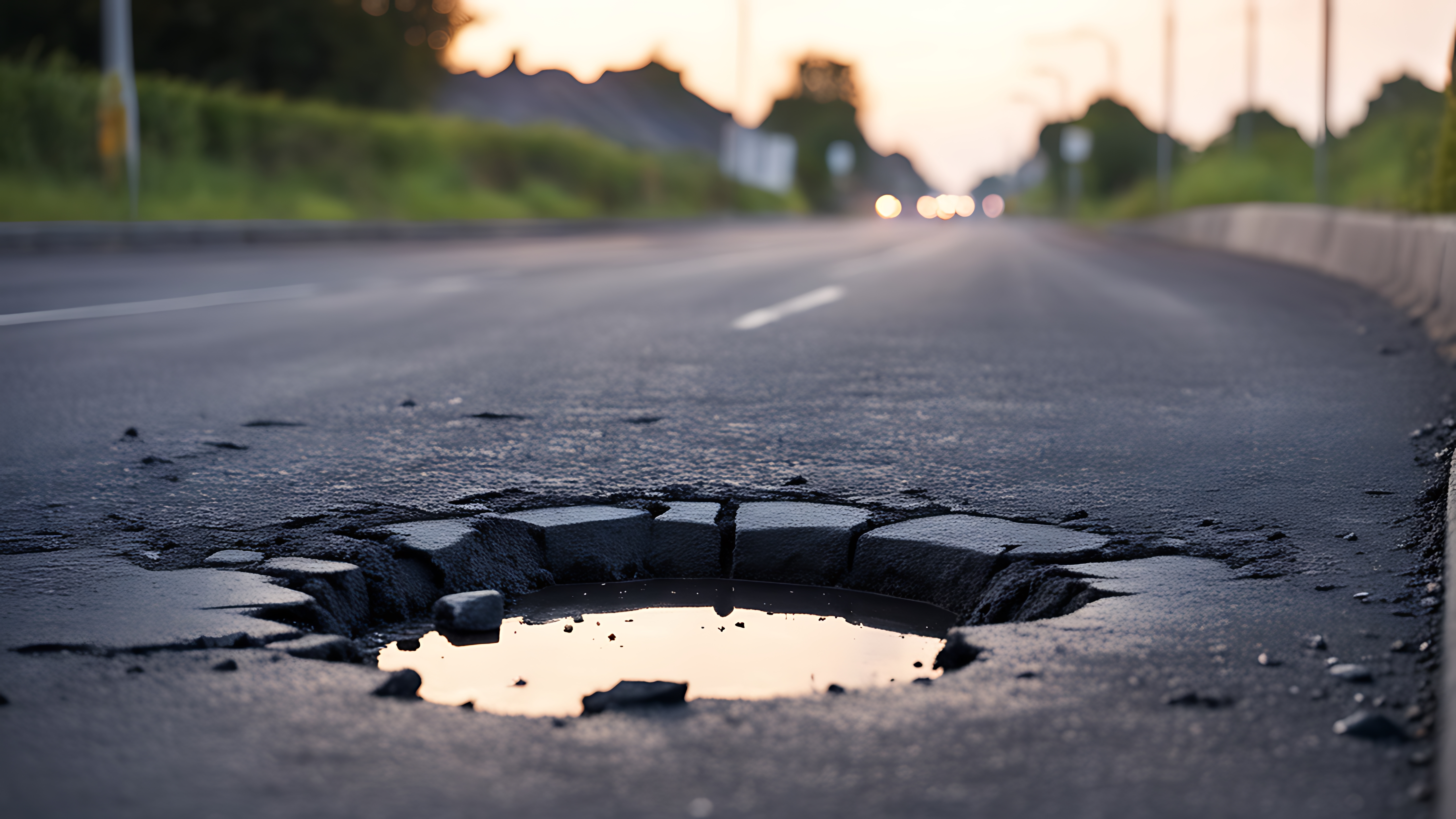
RoADAI
JUSense developed an innovative, automated solution for real-time road condition monitoring, assessment, and mapping, leveraging the power of IoT, cloud computing, and deep learning. This Road Anomaly Detection and Mapping System is designed to identify and map road surface issues, such as potholes, cracks, and uneven surfaces, offering safer routes and proactive road maintenance insights. Using a smartphone-mounted system in a vehicle, we enable the collection of road images and videos, creating a continuous stream of real-time data. The IoT-cloud integration allows for seamless data transfer to cloud storage, where road conditions can be analyzed without delay. This smartphone-based system is easily deployable, cost-effective, and scales across multiple vehicles for broader data coverage. Our anomaly detection model utilizes state-of-the-art deep learning techniques, employing YOLOv8 and Mask R-CNN object detection algorithms for precise identification of road anomalies. These AI models are fine-tuned to recognize various road issues and anomalies in diverse lighting and weather conditions, ensuring robust detection accuracy. The cloud infrastructure facilitates large-scale data processing, which enables rapid analysis and feedback. Through cloud-based AI model deployment, our system processes road data in real-time, allowing for immediate detection and classification of anomalies. This cloud-based architecture ensures high scalability, enabling deployment across cities or even at regional levels. Anomalies detected by the system are geotagged and visualized on a real-time map, providing users with a clear overview of affected areas. Additionally, the system recommends safer, alternative routes based on current road conditions, improving road safety for drivers. Road maintenance teams can access detailed reports, helping prioritize repair tasks and optimize resource allocation. Our Road Anomaly Detection and Mapping System is an end-to-end, scalable solution aimed at enhancing road safety and improving infrastructure management. This powerful integration of IoT, cloud computing, and AI supports cities and municipalities in achieving proactive road maintenance and efficient infrastructure planning, fostering safer travel experiences for everyone.
Explore
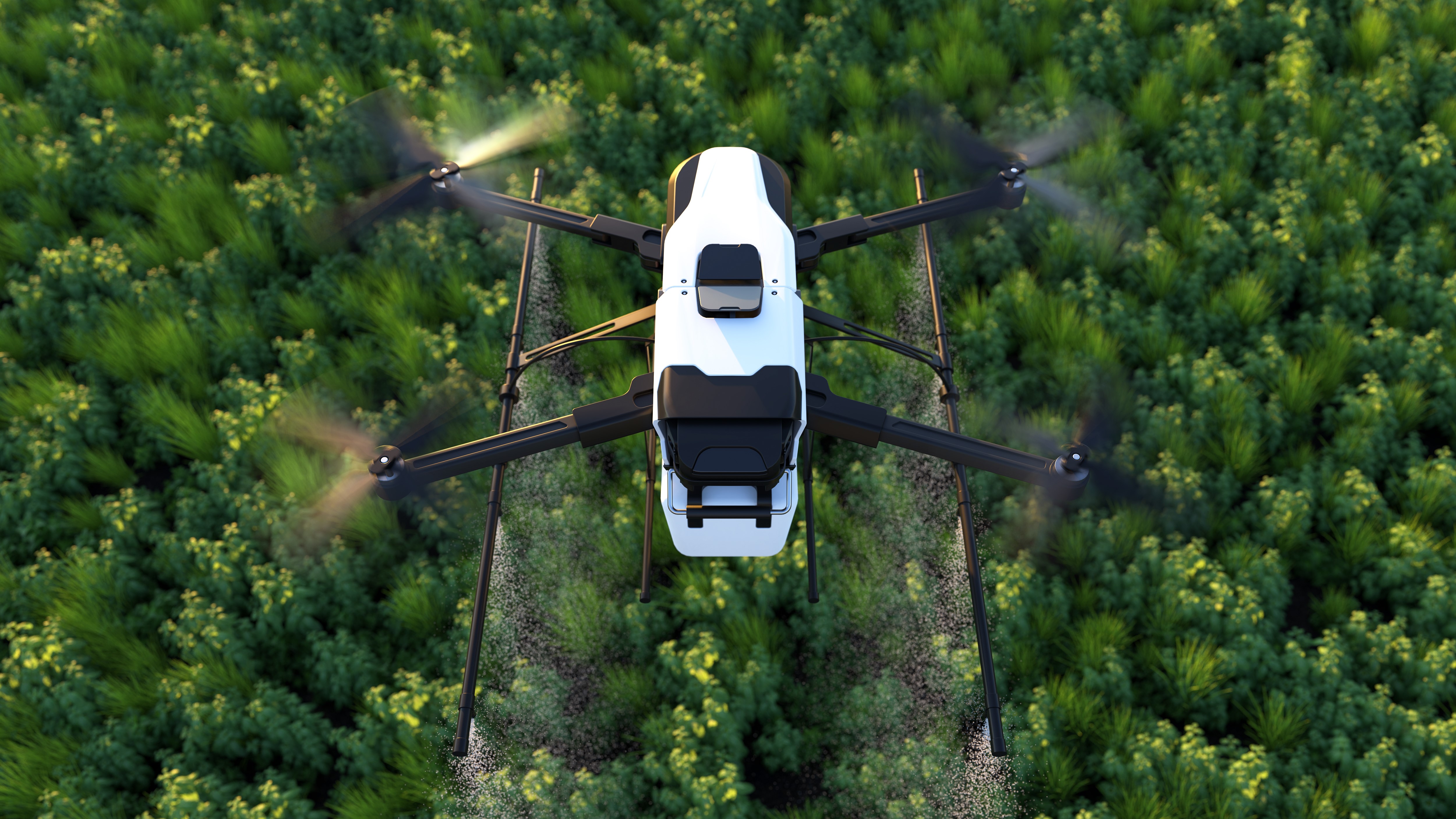
PlantAI
JUSense developed and implemented the PlantAI System, an AI-powered, drone-based solution for monitoring and managing forest plantations with precision and efficiency. This comprehensive system leverages advanced drone technology, computer vision, and AI to provide insights into forest health, support predictive analysis, and offer decision support services to forestry management teams. The PlantAI system was validated through a case study conducted in the Radhanagar Forest Range, Bankura (N) Division, West Bengal, India, and demonstrated the effectiveness of its various features in supporting sustainable forest management. This case study also demonstrates the effectiveness and practical value of the PlantAI system in facilitating data-driven, efficient plantation management. Through the PlantAI System, forestry teams can better manage plantations, protect forest health, and promote sustainable forestry practices in the Radhanagar Forest Range and beyond. This AI-driven approach empowers stakeholders to meet conservation goals while optimizing forest resource management and maintenance efforts.
Explore
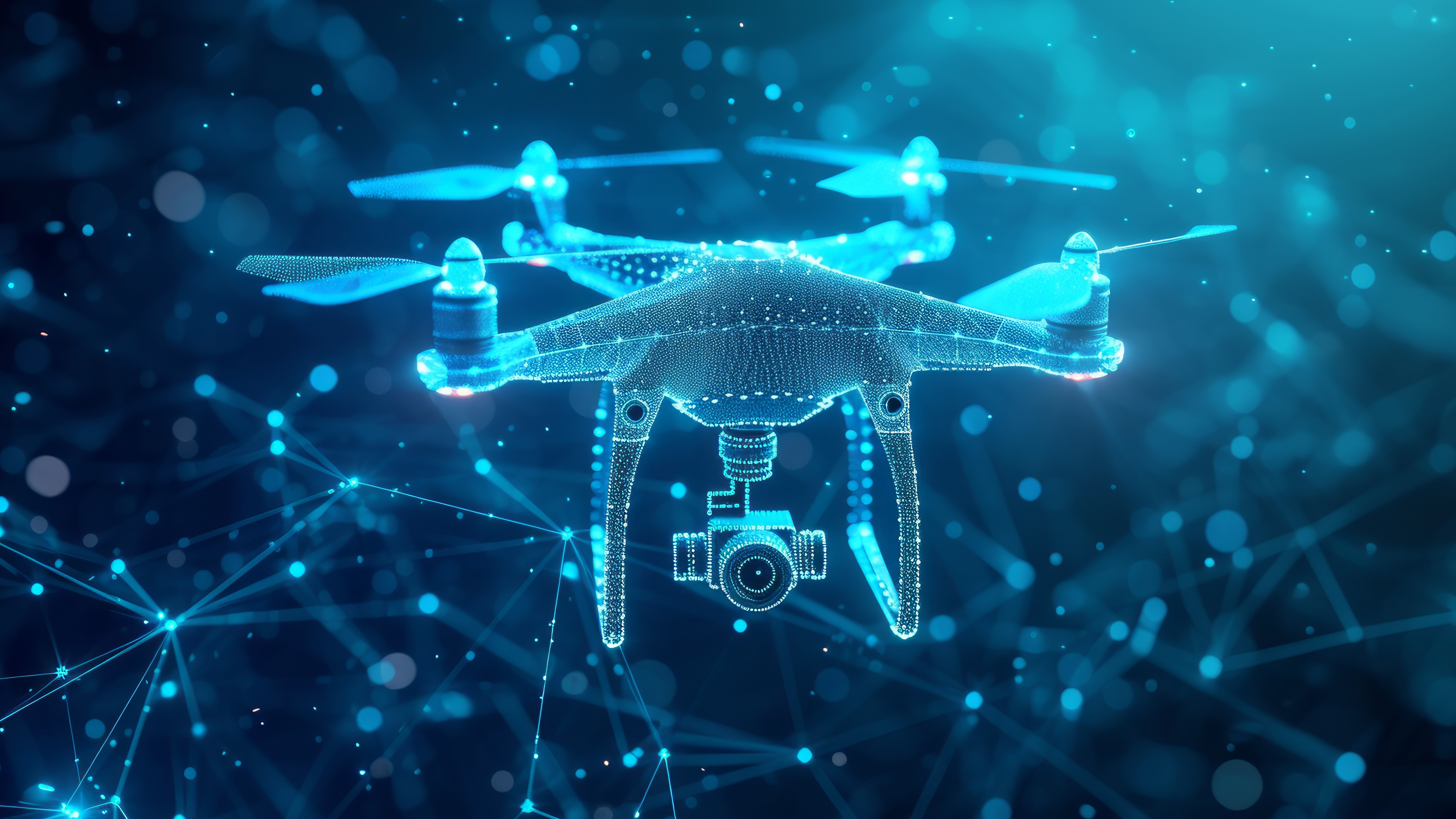
DroneAI-AVS
JUSense developed Aerial Vigilance System (AVS) for enhancing surveillance using autonomous drones and advanced computer vision. Our system employs an autonomous drone platform equipped with a downward-facing camera to provide enhanced surveillance capabilities in border and sensitive areas. The system leverages advanced computer vision techniques, specifically a fine-tuned YOLOv8 object detection model, to analyze real-time imagery captured by the drone. This enables the automatic detection, classification, and tracking of individuals. The system's real-time processing capabilities provide immediate situational awareness, enhancing the ability to respond to potential threats and maintain security across diverse terrains. The autonomous nature of the drone platform ensures consistent and reliable operation with minimal human intervention.
Explore
RoADAI
JUSense developed an innovative, automated solution for real-time road condition monitoring, assessment, and mapping, leveraging the power of IoT, cloud computing, and deep learning. This Road Anomaly Detection and Mapping System is designed to identify and map road surface issues, such as potholes, cracks, and uneven surfaces, offering safer routes and proactive road maintenance insights. Using a smartphone-mounted system in a vehicle, we enable the collection of road images and videos, creating a continuous stream of real-time data. The IoT-cloud integration allows for seamless data transfer to cloud storage, where road conditions can be analyzed without delay. This smartphone-based system is easily deployable, cost-effective, and scales across multiple vehicles for broader data coverage. Our anomaly detection model utilizes state-of-the-art deep learning techniques, employing YOLOv8 and Mask R-CNN object detection algorithms for precise identification of road anomalies. These AI models are fine-tuned to recognize various road issues and anomalies in diverse lighting and weather conditions, ensuring robust detection accuracy. The cloud infrastructure facilitates large-scale data processing, which enables rapid analysis and feedback. Through cloud-based AI model deployment, our system processes road data in real-time, allowing for immediate detection and classification of anomalies. This cloud-based architecture ensures high scalability, enabling deployment across cities or even at regional levels. Anomalies detected by the system are geotagged and visualized on a real-time map, providing users with a clear overview of affected areas. Additionally, the system recommends safer, alternative routes based on current road conditions, improving road safety for drivers. Road maintenance teams can access detailed reports, helping prioritize repair tasks and optimize resource allocation. Our Road Anomaly Detection and Mapping System is an end-to-end, scalable solution aimed at enhancing road safety and improving infrastructure management. This powerful integration of IoT, cloud computing, and AI supports cities and municipalities in achieving proactive road maintenance and efficient infrastructure planning, fostering safer travel experiences for everyone.
To request a more detailed discussion with the team regarding RoDAI, kindly drop an email to jusenseresearch@gmail.com with the mentioned information from your official/academic email ID with the subject: Dataset Request
PlantAI
JUSense developed and implemented the PlantAI System, an AI-powered, drone-based solution for monitoring and managing forest plantations with precision and efficiency. This comprehensive system leverages advanced drone technology, computer vision, and AI to provide insights into forest health, support predictive analysis, and offer decision support services to forestry management teams. The PlantAI system was validated through a case study conducted in the Radhanagar Forest Range, Bankura (N) Division, West Bengal, India, and demonstrated the effectiveness of its various features in supporting sustainable forest management. This case study also demonstrates the effectiveness and practical value of the PlantAI system in facilitating data-driven, efficient plantation management. Through the PlantAI System, forestry teams can better manage plantations, protect forest health, and promote sustainable forestry practices in the Radhanagar Forest Range and beyond. This AI-driven approach empowers stakeholders to meet conservation goals while optimizing forest resource management and maintenance efforts.
To request a more detailed discussion with the team regarding RoDAI, kindly drop an email to jusenseresearch@gmail.com with the mentioned information from your official/academic email ID with the subject: Dataset Request
DroneAI-AVS
JUSense developed Aerial Vigilance System (AVS) for enhancing surveillance using autonomous drones and advanced computer vision. Our system employs an autonomous drone platform equipped with a downward-facing camera to provide enhanced surveillance capabilities in border and sensitive areas. The system leverages advanced computer vision techniques, specifically a fine-tuned YOLOv8 object detection model, to analyze real-time imagery captured by the drone. This enables the automatic detection, classification, and tracking of individuals. The system's real-time processing capabilities provide immediate situational awareness, enhancing the ability to respond to potential threats and maintain security across diverse terrains. The autonomous nature of the drone platform ensures consistent and reliable operation with minimal human intervention.
To request a more detailed discussion with the team regarding RoDAI, kindly drop an email to jusenseresearch@gmail.com with the mentioned information from your official/academic email ID with the subject: Dataset Request